Pricing Details
Free Tier: Basic features with limited data access. Pro Tier: Starting at $99 per month, offering full access to all data sources and advanced analytical tools. Disclaimer: For the most accurate and current pricing details, refer to the official Danti website.
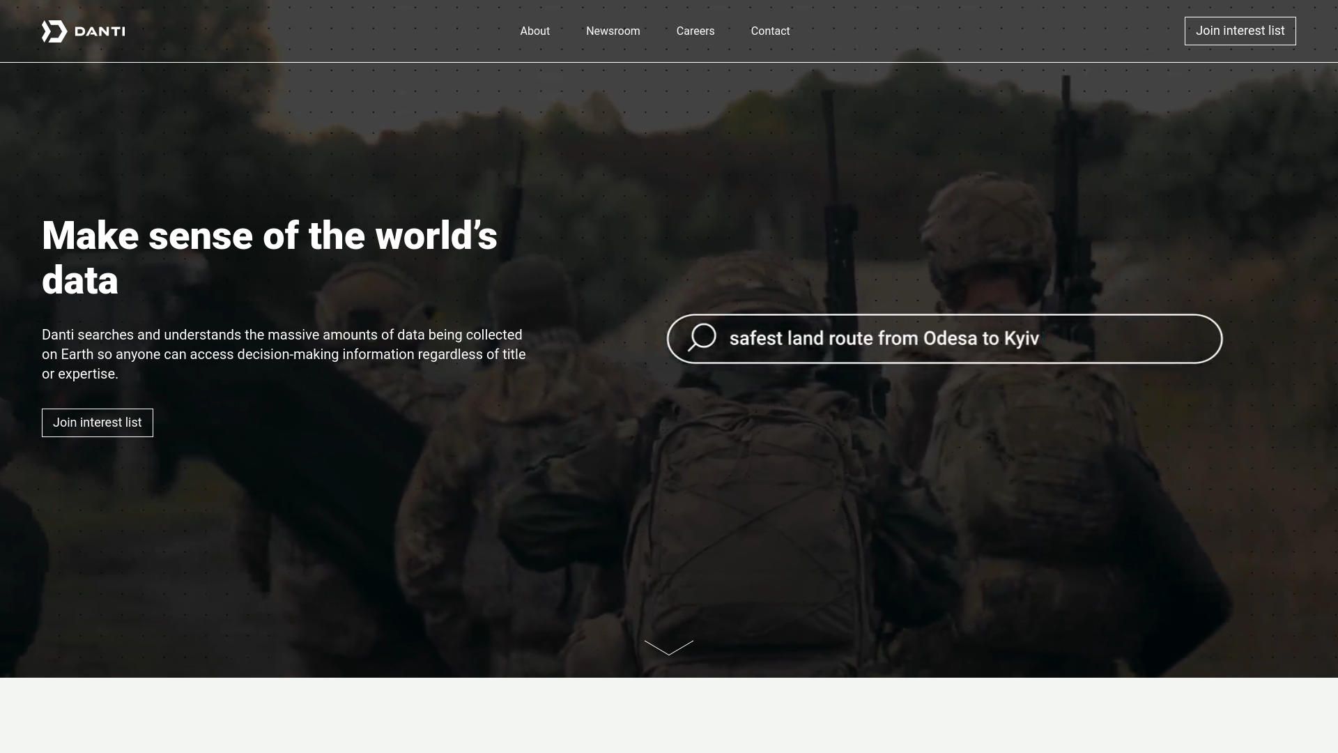
Product Visuals (1 images)
Strengths
- Enhanced Data Accessibility: Streamlines the process of accessing and analyzing complex Earth data.
- Time Efficiency: Reduces the time required to locate and utilize relevant data.
- Cost-Effective: Eliminates the need for extensive data management infrastructure and specialized personnel.
- Expert-Level Precision: Allows users with minimal geospatial expertise to perform advanced data analysis.
Limitations
- Complexity of Data: The sheer volume of available data can be overwhelming without adequate training.
- Dependency on Technology: Requires robust internet connectivity and technological infrastructure.
- Limited by Current Technology: Some advanced features may still be in development.
What You Get
Key Features
- Advanced Search Capabilities: Utilizes natural language processing to deliver precise, context-specific search results.
- Wide Range of Data Sources: Integrates diverse sources including permits, analytics, airborne and satellite imagery, social media posts, and news articles.
- User-Friendly Interface: Designed to be intuitive for both novices and experts.
- High Customizability: Can be deployed on the web or within organizational firewalls to meet varying security and accessibility needs.
- ProsEnhanced Data Accessibility: Streamlines the process of accessing and analyzing complex Earth data.Time Efficiency: Reduces the time required to locate and utilize relevant data.Cost-Effective: Eliminates the need for extensive data management infrastructure and specialized personnel.Expert-Level Precision: Allows users with minimal geospatial expertise to perform advanced data analysis.ConsComplexity of Data: The sheer volume of available data can be overwhelming without adequate training.Dependency on Technology: Requires robust internet connectivity and technological infrastructure.Limited by Current Technology: Some advanced features may still be in development.
Best For
- Defense & Intelligence Agencies: Access critical data without needing direct geospatial analyst support.
- Real Estate Professionals: Gain insights into properties, neighborhoods, and geographical areas.
- Insurance Companies: Assess risk and understand property details comprehensively.
- Infrastructure Companies: Manage and interpret large internal data sets.
- Uncommon Use Cases: Educational institutions for research; Environmental scientists for tracking land use and environmental conditions.
Integrations
Cloud-Based Solutions: Fully compatible with major cloud platforms for scalability and flexibility. API Access: Robust API options for custom integrations with other software tools. Multi-Platform Support: Accessible on various devices and operating systems. Security Features: Advanced security protocols to ensure data integrity and confidentiality.
Similar Tools

Weekly Issue
⚡
Research tools · weekly digest
The AI Weekly — free in your inbox
New AI tools, pricing changes, expert picks, and hidden gems — curated by Mr. Spark every week. Join 5,000+ readers who stay ahead of the AI curve.
No spam, ever
Unsubscribe anytime
100% free